So last Saturday (the 14th) we headed out to Cape Roberts (see the map here) which is about 120km from Scott Base, but across McMurdo Sound, on the mainland.
We have a tide gauge there, which we calibrate each year to help ensure the long term accuracy of the data. The procedure involves setting up a GPS on the floating sea-ice and comparing those variations in height with the tide gauge heights.
We also completed some conventional survey work with a total station, to survey between most of the marks in the area to tie them all together consistently.
So on the first day, we flew out, set up our GPS gear did a bit of surveying, and settled in. There was a traverse going between Scott Base and Granite Harbour (just around the corner from Cape Roberts) who were staying at the hut on the Saturday night. They'd driven up from SB on the Friday (taking about 14 hours i think) to Cape Roberts in their two Hagglunds, towing sleds. Then on Saturday they went and picked up some gear from Granite Harbour, and drove back on Sunday. So there were 5 people in that group (mostly base staff- mechanics etc), with a lot of alcohol as well, so it made for an entertaining evening!
Just a warning- there's a large component of seal and iceberg photos over these 4 days, I've tried to cut down the numbers, but I took something like 1090 photos in the 4 days, so there was a fair bit of culling.

One of the valley's on the flight up.

Glen in the Helo.

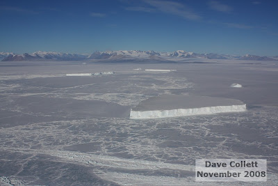
Icebergs and the Trans-Antarctic Mountains.

Iceberg. Looks like baleen off a whale i reckon.

Cape Roberts! Granite Harbour in the background.

Unloading the Helo. This is the NZ Helicopters one- callsign HNO. Rob the pilot's great- he came to the Darwin with us yesterday, but more about that later.

View from the beach.

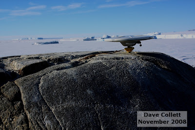
One of our GPS antenna's set up.

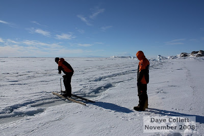
Drilling a crack in the seaice. We had to use a ladder to get across this one..

More drilling, and marking our route with flags.

Drilling the hole to measure the level of the water relative to the GPS.

GPS all set up, with Cape Roberts in the background.

Me posing with the GPS.

Emperor Penguin tracks!! Didn't see the actual penguin tho. This is where it's slid along on its stomach- u can see the flipper prints off to the side, and where it's used its feet in the middle.


No comments:
Post a Comment